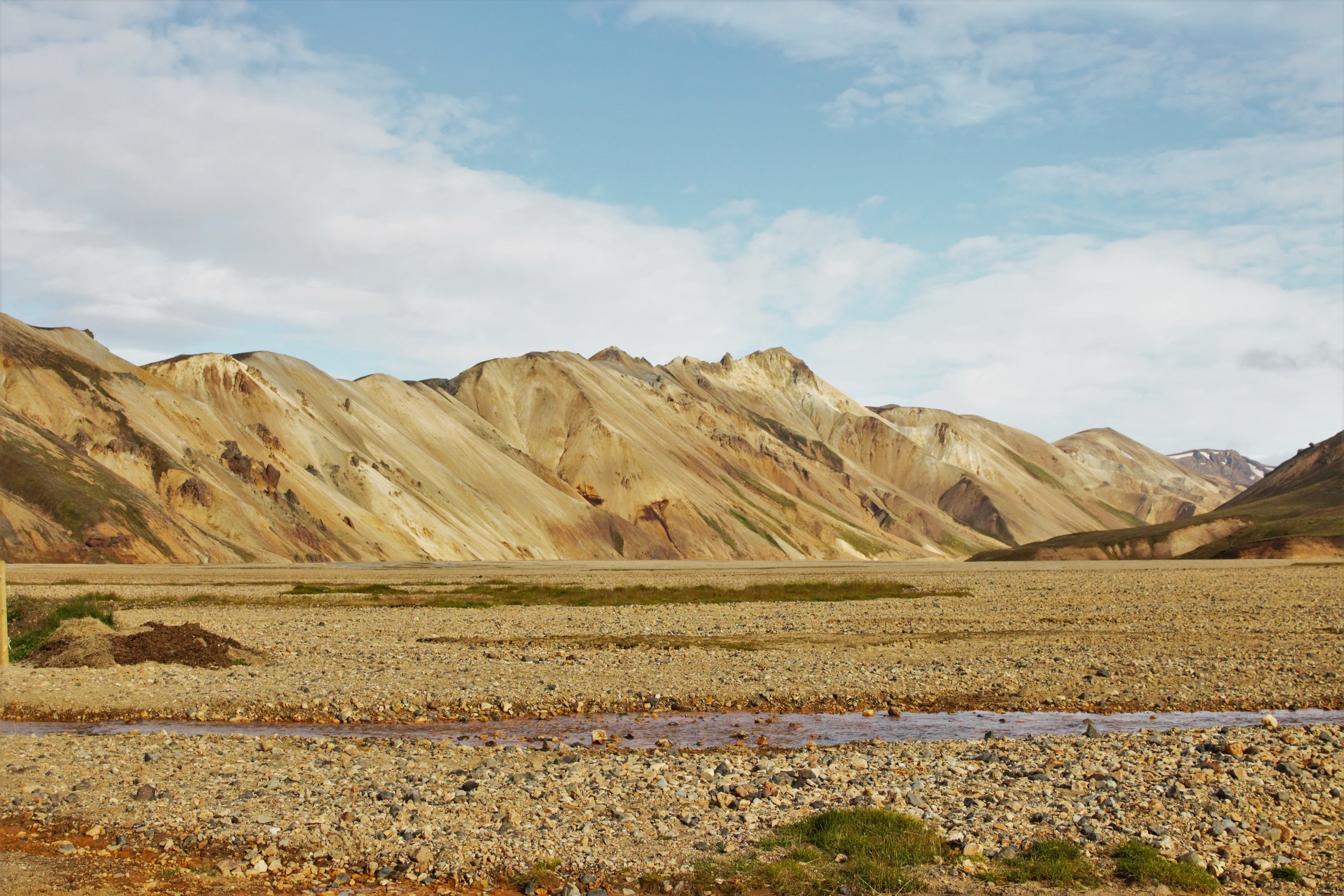
The mountains of Landmannalaugar.
The highlands here are so vast and varied, it feels a bit like day 2 was really several days - that's how many different sights we saw. It helps that the sun sets around 9 pm here at the moment, which means that days stretch much longer. Your mind assumes that it's much earlier in the day even as your body tells you to please, please get some sleep.
We left Volcano Huts in the morning to head southeast and then north again into a different section of the highland. Passing through rolling hills of volcanic ash and moss, we eventually came upon one of the major points of friction for locals when it comes to the highland: hydropower dams.
The first dam sat at the mouth of a huge man-made canyon, carved deep into the earth and stretching far into the distance. The second, which according to a sign was called Tengivirki, sat right across the road from one of the bluest waterfalls I've ever seen, flooded with glacial meltwater - though it was unclear if the waterfall itself was natural or if it was caused by the diversion of water by the dam. That's the case for the enormous lakes that sat behind this second dam, all of which were created by the dam flooding out the area's rivers and whatever habitats were once there.
According to the website from the geothermal company that runs it, the Tengivirki dam provides power to the Fjarðaál aluminium smelter, operated by the international aluminum giant Alcoa.
Yes, the dams are ugly, and yes, they may have eliminated habitat for birds or other wildlife that lived in the area - I could see that plainly from visiting. But that could all be weighed as acceptable if these hydropower plants contributed to the country they're located in. However, according to several sources, Alcoa and Norðurál, another company that runs Iceland's smelters, pay minimal or no income taxes. With other dams in the works for the highlands to power further smelters, this issue has become a huge flash point. Opponents say that the dams and the smelters they power do little for the country, and instead are lining the pockets of international companies.
From there we drove further into the highland, encountering an enormous plain of ash. According to Donal, you can tell the plain is an ancient one because of how fine the ash is, and how much it has covered the larger lava structures around it - a feat that could only be accomplished by many centuries of wind and erosion breaking the lava down into finer and finer grains. And running through the ash plain and the gorgeous landscape within it, we found another prominent feature of development in the highland: power lines, carrying electricity from the coast to who knows where.
At the entrance to the ash plains.
More gorgeous braided rivers amongst ancient volcanoes...
...and 180 degrees away, the continuation of the power lines.
The power lines are a topic neither I nor Donal know very much about. Where do they go? Who do they provide power to? What did it take to put them there, environmentally? And do those who seek to protect the highlands wish that perhaps they weren't there? It's something to look into. It's entirely possible that they could be a necessary feature of the country, and perhaps an acceptable aesthetic sacrifice for those who gain power from them in this exceptionally remote part of the country.
A gorgeous caldera within the ash plains. We ran into two visitors from Spain who were walking down to the water to go trout fishing - an unexpected example of how locals and visitors alike utilize this seemingly desolate area.
A better shot of the colors of the caldera.
The remains of a lava flow, halted in its tracks by the lake.
After quite a bit of driving we reached Landmannalaugar, the location of the beautiful mountains at the top of this post. The area was swamped with tourists camping in tents, trucks, vans, and even buses, bathing in the hydrothermally-heated springs that run orange with silt from the painted hills.
We lingered long enough for grilled cheese sandwiches and to stretch our legs down at the horse pen, where we got to hang with a few of the island's famously purebred horses. Apparently if you take one off the island, you are not allowed to bring it back, just in case it might somehow contaminate the breed's bloodline.
All Icelandic horses have emo haircuts.
Our last stop for the evening was Langisjór, an enormous (translation: Long Lake), winding lake in the highlands colored deep blue by glacial melt water. However, we didn't see much of any of that - foul weather moved in as we drove, obscuring everything around us with mist and rain.
About as much of Langisjór as was visible.
It took much longer than expected to find out hut for the night, but with cold and wet closing in fast, we were happy to see this quaint little cabin perched on the edge of a dry floodplain. We were joined by a pair of German tourists and their guide, who were in the highland on a photographic workshop - more people drawn to this area simply for its beauty.
I write this from a hostel in the southeast, nearly 24 hours after we reached the above spot. I'm still drying out from a day with much more rain and snow than reporting, so it may be another day or two before there is more to post.
Thanks to everyone for all of the kind comments and support for this trip so far. Let me know if there's anything that strikes you as particularly interesting, and which you want to learn more about!


